

London Transport Maps & Transport Information, UK
Airports serving London Docklands Light Railway Oyster Cards
London Airports
Cheap Flight Search
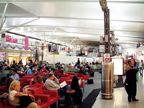
Gatwick Airport - North Terminal Photo by UggBoy
London Gatwick Airport (LGW)
- London's main Charter Flights airport
- 2 Terminals North terminal & South Terminal
More Information Gatwick Airport.
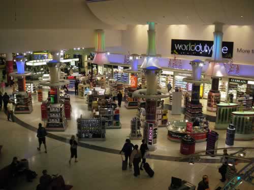
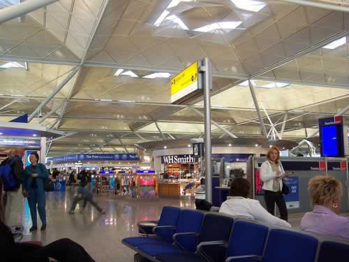
Heathrow Airport Terminal ? Photo by d'n'c
London Heathrow Airport (LHR)
- London's largest & busiest airport & main Schedule Flights airport
- 5 Terminals - numbered 1 - 5 . Terminal 2 closed until 2014 during modernisation
More Information Heathrow Airport.
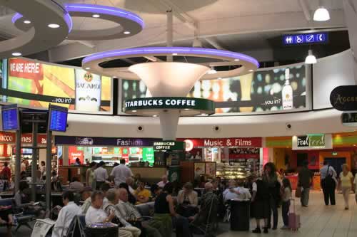
Luton Airport airside lounge Photo by Holidayextras
London Luton Airport
Trains
- The station is located about 2 kilometres from the Luton Airport Parkway Station with a shuttle bus running between the two.
- Train tickets can be purchases that include the shuttle, or you can pay for the shuttle around £1.50 single.
- Scheduled flights
- Charter flights
Stansted Airport Photo by Håkan Dahlström
London Stansted Airport (STN)
More Information Stansted Airport.
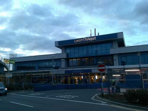
London City Airport Photo by markhillary
London's City airport
The only airport near the centre if London
Public transport
The Docklands Light Railway (DLR) service conects you to London’s Underground and national rail stations.
London Journey Planner
London's MAIN Railway Stations
Get Train Tickets
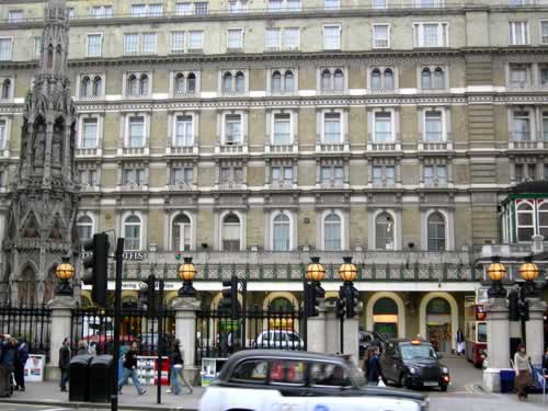
Charing Cross station & The Charing Cross Memorial on the left.
Charing Cross Station rear Photos by Ewan-M
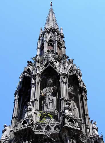
The top of The Charing Cross / Eleanor Cross memorial Photo by /C. G. P. Grey
- Edward Longshanks who was known as Edward Longshanks and the Hammer of the Scots had 12 memorial crosses built on the death of his first wife, Queen Eleanor.
- Only 3 have survived the centuries, Charring Cross was not one of them.
- The current cross is a reproduction built from the limited descriptions of the original.
Charing Cross Railway Station
The station operates services run by Southeastern with Metro, Mainline & High Speed services..Metro
- Metro to Bexleyheath, Bromley South, Hayes, Sevenoaks, Sidcup & Greenwich.
- Mainline Ashford Line, Chatham Line, Hastings Line, Maidstone East Line & Medway Valley Line
- High Speed services
Old victorian frontage to the more modern station that lies behind
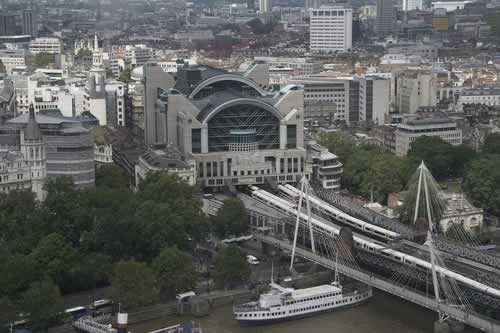
Trains leaving Charing Cross Railway Station immediatly cross the River Thames over the Hungerford Bridge opened in 1864.
Sharing the bridges piers are the 2 newer Golden Jubilee pedestrian Bridges with there cable suspension style.
Charing Cross also known as the Eleanor Cross
In the courtyard in front of the Old victorian frontage to the station is the beautiful replica Charing Cross standing 70 feet (21 metres) high. This Victorian replacement was erected in 1865 and being Victorian was more ornate than the original, for which sections still exist in the British Museum.
The original cross, a memorial cross sculptured for King Edward I around 1294 for his deceased wife Queen Eleanor of Castile, was sited where the equestrian statue of Charles I stands in a roundabout on the southern edge of Trafalgar Square. This location was regarded as the centre of London & the place where all mileage measurements started from. The cross was destroyed by the Parliamentarians during the Civil War
Download Map of Charing Cross Station (PDF format)
Link to Download Map of Southeastern Network map
See the Location of Euston Station on our London Transport Map
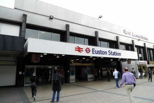
Euston Station
Photo by Ewan-M
Euston Railway Station
More information Euston
Download Map of Euston Station (PDF format)
See the Location of Euston Station on our London Transport Map
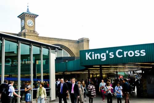
Kings Cross Station Photo by gadgetdude
Kings Cross Railway Station
More information Kings Cross
Download Map of Kings Cross Station (PDF format)
First capital Route Map download Route Map
See the Location of Kings Cross Station on our London Transport Map
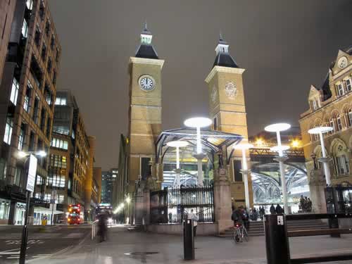
Liverpool Street Station Photo by avail
Liverpool Street Railway Station
More information Liverpool Street
Download Map of Liverpool Street Station (PDF format)
See the Location of Kings Cross Station on our London Transport Map
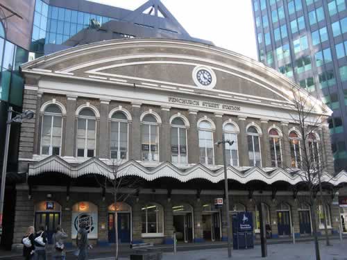
Fenchurch Street Station Photo by vic15
Fenchurch Street Railway Station
More information Fenchurch Street
Download Map of Fenchurch Street Station (PDF format)
See the Location of Fenchurch Street Station on our London Transport Map
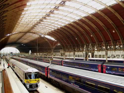
Paddington Station Photo by amandabhslater
Paddington Railway Station
More information Paddington
Download Map of Paddington Station (PDF format)
See the Location of Paddington Station on our London Transport Map
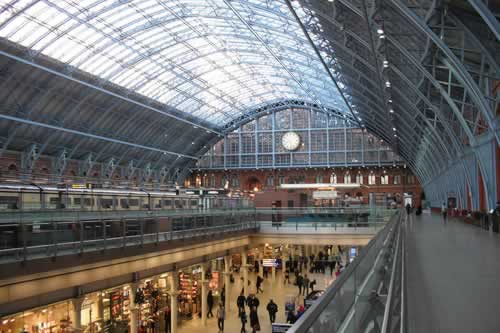
St Pancras Station Photo by osde8info
St Pancras Railway Station
More information St Pancras
Map of St Pancras Station Map
See the Location of St Pancras Station on our London Transport Map
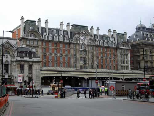
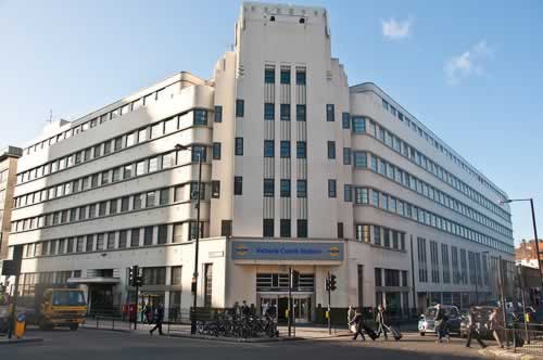
Victoria Railway Station Photo by Ewan-M
Victoria Railway Station
More information Victoria
Download Map of Victoria Station (PDF format)
See the Location of Victoria Station on our London Transport Map
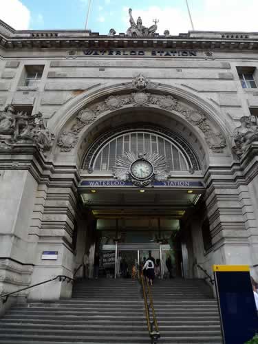
Waterloo Station Photo by Ewan-M
Waterloo Station
See the Location of Waterloo Station on our London Transport Map
London Tube Map
London Tube Map
London Tube Service Information
Docklands Light Railway (DLR)
Download Docklands Light Railway System Map (PDF 0.33 MB)
Download Docklands Light Railway & Mainline Rail connections Map (PDF 0.06 MB)
National Inter City Coach & Bus Travel
National Express coach services to from London
National Express run the largest network of inter city coaches with many routes to & from London and all the UK mainland Cities usually by single decker coaches
Victoria Coach Station
National Express operate from Victoria Coach Station in London
Megabus Bus Services to from London
Megabus Bus Services have a smaller network of Routes to & from the Major Cities by either double or single deck buses.
Prices are usually less than National Express
The main bus stops in london are:
Victoria Coach Station
Located in Buckingham Palace Road / Elisabeth Street Junction, Stands 15-20 in the North West Terminal
London Waterloo Bus Stop
Station Approach, SE1
Victoria Coach Station
Victoria Coach Station Photo by PhillipC
Location of Victoria Coach station
- 164 Buckingham Palace Road, SW1W 9TP.
- 300 metres south of Victoria Rail Station
The Victoria Coach station is split into 2 sections Arrivals & Departures
Oyster Cards
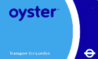
Oyster Card .
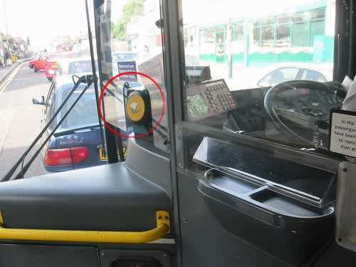
Bus Oyster Card Reader Circled near photo centre Photo by Joshua Kaufman
The Oyster Card is a smart card that you can use in place of paper tickets. They are the modern way of Traveling on Public Transport in London that includes bus, Tube, tram, DLR, London Overground and most National Rail services in London.
- The card is the size of a credit card, and it is a pre payment card that gives you discounted fares on public transport
- There is a £5.00 refundable deposit when you obtain your card.
- You can obtain cards from
- Oyster online if you live in the UK
- London Travel Information Centres
- Oyster Ticket Stops
- Stations
- Top up the card
- You can top up your card at the above or set up an automatic top up
- Protect your card - set up an online account
